
Thor's Cave - Peak District Walk
Monday 16th May 2016
Another short walk to develop my fitness levels. Taking advantage of the dry weather I headed out for a walk around the Wetton Hills.
Start: Wetton (SK 1089 5513)
Route: Wetton - Thor's Cave - Manifold Valley - Wetton Hill - Wetton
Distance: 3.5 miles Ascent: 255 metres Time Taken: 2 hours 35 mins
Terrain: Clear paths.
Weather: Grey and cool.
Pub Visited: None Ale Drunk: None

Looking across the Manifold Valley towards the chuch in Butterton.
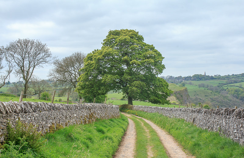
I follow the concessionary lane to Thor's Cave, a good way to avoid the cows that are often in the fields crossed by the public footpath.

Looking towards the top of Thor's Cave. I passed on taking the path to the top and instead headed down towards the front of the cave.

Looking along the Manifold Valley from the path close to Thor's Cave.

One day I might venture inside but certainly not when I'm walking alone.
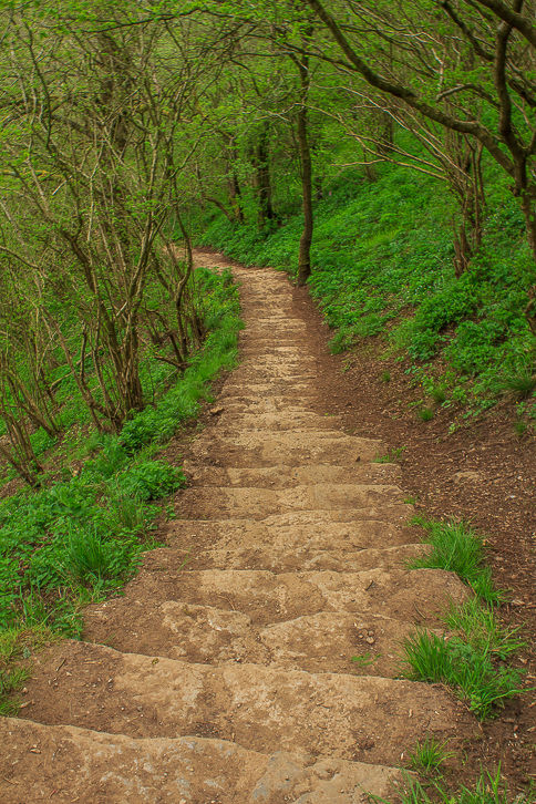
The resaon I passed on visiting the top of Thor's Cave was because I knew
the long flight of steps would be enough of a challenge for my knee today.
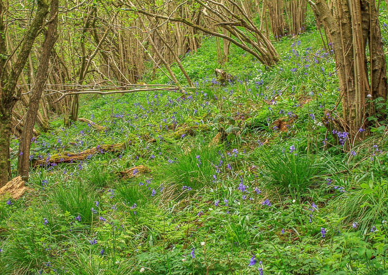
I'd deliberatley come this way in the hope of finding a carpet of bluebells.
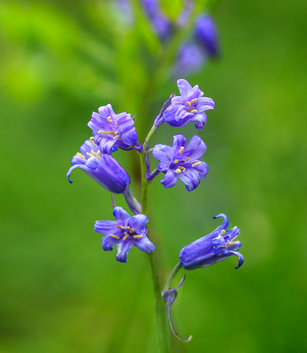
There were plenty of bluebells to be seen in amongst all the other flowers.
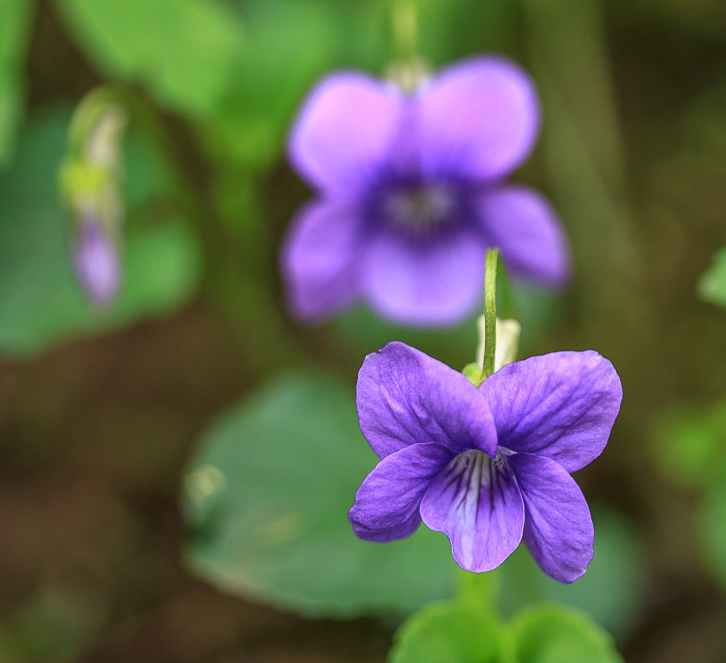
I think this is Cranesbill, anyone who knows if I'm right or wrong please get in touch.

Looking back up to Thor's Cave from the floor of the Manifold Valley.

My route took me along a short section of the Manifold Way.

There is a subtle lack of water in the bed of the Manifold River.

I divert off the Manifold Way along a track that is new to me and find I have a view of the top of Sugarloaf ahead of me.
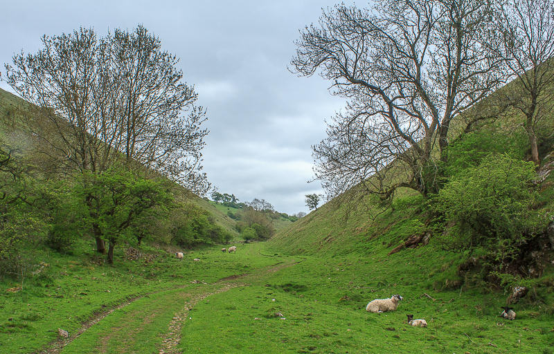
I also find myself passing by lots of lambs and their mothers.
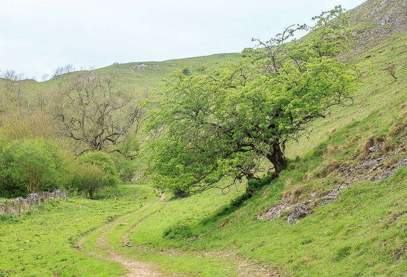
I love the way this tree follows the line of the valley side.

Back on a familiar path my route takes me on a circular tour of Wetton Hill.
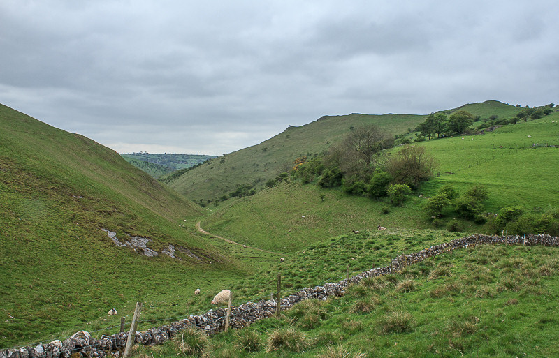
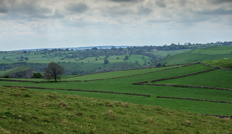
My lunchtime view looked back down the valley. Sugarloaf is the hill on the right.
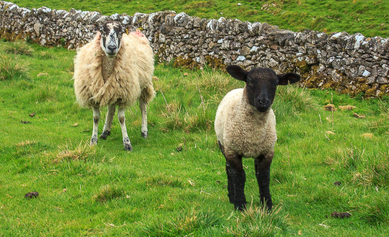
These two seemed rather keen to keep me company whilst I sat eating my lunch.

Heading upwards and around the other side of Wetton Hill my view now includes Ecton Hill.

Looking across the area best described as the Back of Ecton. High Wheeldon is visible in the distance.
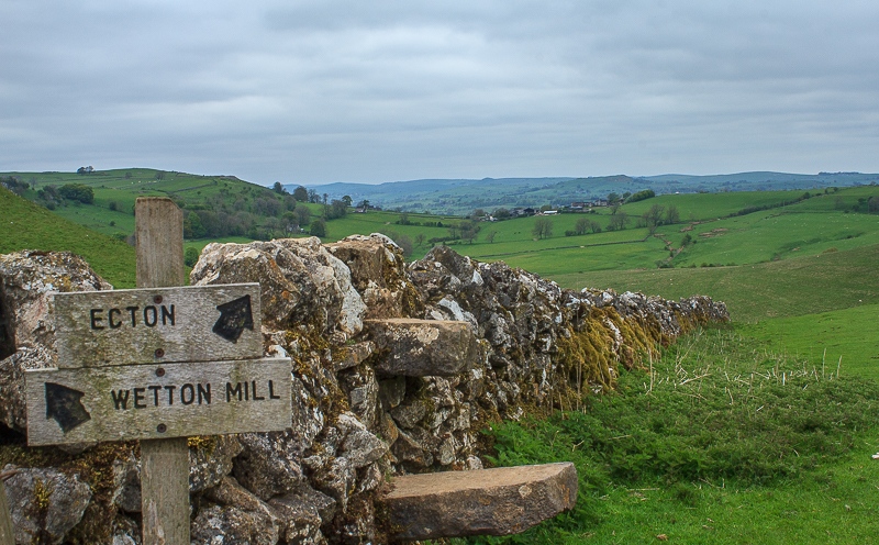
Either way will take you to either place but crossing the stile leads you onto the Access Land from which, should you wish to, you can reach the summit of Wetton Hill.
After crossing the brow of Wetton Hill the scenery changes slightly as the drystone walls appear.

Following the line of the Manifold Valley, with Soles Hill to its left.
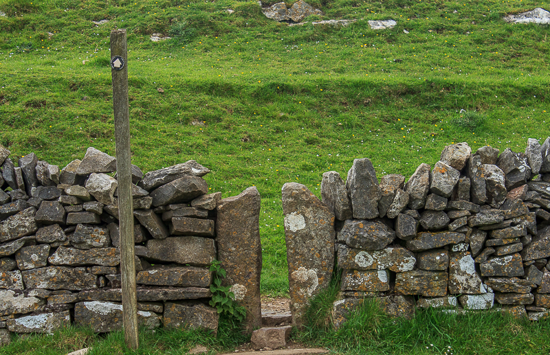
Every time I do this route I dread this squeeze stile. It was not designed with small people in mind.

Just as I arrive back in Wetton the sun starts to come out.
All pictures copyright © Peak Walker 2006-2023